Geolocate

Niland topographic map

Click on the map to display elevation.

About this map

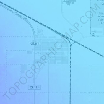
Name: Niland topographic map, elevation, terrain.

Location: Niland, Imperial County, California, United States (33.23000 -115.52026 33.24562 -115.50809)

Average elevation: -40 m

Minimum elevation: -54 m

Maximum elevation: -19 m

Gear up for your next adventure:

🛏️Camping Sleeping Mat - Comfortable mats for sleeping outdoors
🥾Hiking Gaiters - Protect legs and shoes from mud, snow, and debris
🔥Emergency Fire Starter - Reliable ignition source for all weather conditions
🧭GPS Outdoor Watch - Smart watch for navigation and fitness tracking in nature
🧴Sunscreen SPF - Broad-spectrum sunscreen for outdoor activities

As an Amazon Associate, this site earns from qualifying purchases at no extra cost to you.