Geolocate

White Marsh topographic map

Click on the map to display elevation.

About this map

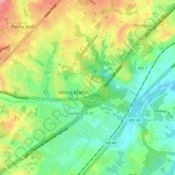
Name: White Marsh topographic map, elevation, terrain.

Location: White Marsh, Baltimore County, Maryland, United States (39.35988 -76.50141 39.40736 -76.42482)

Average elevation: 39 m

Minimum elevation: -2 m

Maximum elevation: 102 m

Gear up for your next adventure:

🥾Trekking Boots - Durable boots for long-distance trekking
🧢Sun Hat - Wide-brim hat for sun protection
🧥Fleece Jacket - Warm and lightweight jacket for layering
🧤Rechargeable Heated Gloves - Extreme warmth for Canadian winter expeditions
🧴Insect Repellent - Protect yourself from bugs during outdoor adventures

As an Amazon Associate, this site earns from qualifying purchases at no extra cost to you.