Geolocate

Lone Jack topographic map

Click on the map to display elevation.

About this map

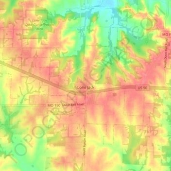
Name: Lone Jack topographic map, elevation, terrain.

Location: Lone Jack, Jackson County, Missouri, United States (38.84913 -94.22914 38.89354 -94.14572)

Average elevation: 296 m

Minimum elevation: 255 m

Maximum elevation: 322 m

Other topographic maps

Click on a map to view its topography, its elevation and its terrain.

Gear up for your next adventure:

🔋Solar Power Bank - Keep your GPS and devices charged during long outdoor trips
🥾Approach Boots - Comfortable boots for hiking and climbing approaches
🗺️Topographic Maps - Detailed maps to explore trails, mountains, and wilderness areas
🧦Outdoor Socks - Durable socks designed for hiking and outdoor sports
🧥Ultralight Puffy Jacket - Maximum warmth that packs down to the size of an orange

As an Amazon Associate, this site earns from qualifying purchases at no extra cost to you.