
Make a donation
Gear up for your next adventure:
As an Amazon Associate, this site earns from qualifying purchases at no extra cost to you.
Cordillera Central topographic map
Click on the map to display elevation.
Make a donation
Gear up for your next adventure:
As an Amazon Associate, this site earns from qualifying purchases at no extra cost to you.
Cordillera Central
The Cauca Valley montane forests ecoregion covers the western slope of the range. The Magdalena Valley montane forests cover the eastern slopes and the northern end of the cordillera. The Northern Andean páramo covers the highest elevations.
Make a donation
Gear up for your next adventure:
As an Amazon Associate, this site earns from qualifying purchases at no extra cost to you.
About this map
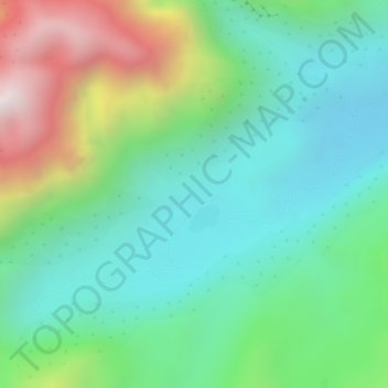
Name: Cordillera Central topographic map, elevation, terrain.
Average elevation: 3,706 m
Minimum elevation: 3,424 m
Maximum elevation: 4,285 m
Make a donation
Gear up for your next adventure:
As an Amazon Associate, this site earns from qualifying purchases at no extra cost to you.