
Navalagunda topographic map
Click on the map to display elevation.
Navalagunda
Navalgund is located at 15°34′N 75°22′E / 15.57°N 75.37°E / 15.57; 75.37. It has an average elevation of 578 metres (1896 feet). It is situated 35 km from Hubli and is famous as the birth place of 'Jamkhanas', the floor covering woven using cotton ropes, a kind of flat & thin carpet. It is famous for the Holi festival. The world famous Ramling Kamanna and the famous Naglinga Swamy temple are in Navalgund, as well as the famous Nilamma Tank
About this map
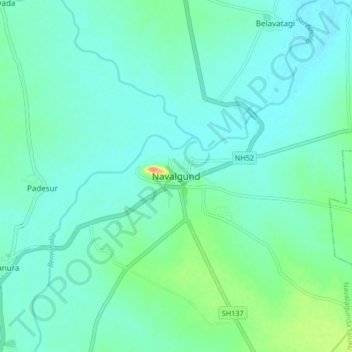
Name: Navalagunda topographic map, elevation, terrain.
Average elevation: 579 m
Minimum elevation: 564 m
Maximum elevation: 644 m