

Horgen topographic map
Click on the map to display elevation.
Horgen
The large municipality stretches from the shores of Lake Zurich (elevation 408 m (1,339 ft)), near Wädenswil over the Zimmerberg-Plateau where the decentralized village of Horgenberg is found (elevation 660 m (2,170 ft)), though the Sihl Valley (Sihltal), to the peak of the Albis chain (elevation 915 m (3,002 ft)). It includes the villages of Horgen, Arn and Horgenberg.
About this map
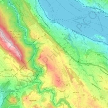
Name: Horgen topographic map, elevation, terrain.
Location: Horgen, Bezirk Horgen, Zurich, 8810, Switzerland (47.19934 8.53544 47.27613 8.63323)
Average elevation: 573 m
Minimum elevation: 401 m
Maximum elevation: 892 m