
Jayawijaya topographic map
Interactive map
Click on the map to display elevation.
About this map
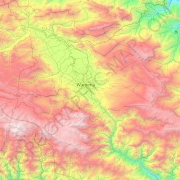
Name: Jayawijaya topographic map, elevation, terrain.
Location: Jayawijaya, Papua, 99511, Indonesia (-4.48556 138.59262 -3.75421 139.25725)
Average elevation: 2,460 m
Minimum elevation: 480 m
Maximum elevation: 4,682 m
Other topographic maps
Click on a map to view its topography, its elevation and its terrain.