

Aurillac topographic map
Click on the map to display elevation.
Aurillac
Influenced by its altitude, Aurillac features an oceanic climate (Cfb), closely bordering on a warm-summer humid continental climate (Dfb) under the Köppen system. In spite of this, the city enjoys more than 2,100 hours of sunshine per year on average, but also a high amount of precipitations per year on average. The record low temperature was −24.5 °C (−12 °F) on 9 January 1985 and the record high was 38.0 °C (100 °F) on 30 July 1983.
About this map
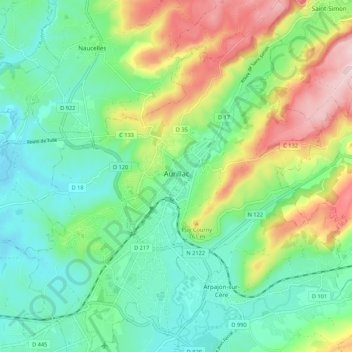
Name: Aurillac topographic map, elevation, terrain.
Average elevation: 668 m
Minimum elevation: 569 m
Maximum elevation: 876 m