Geolocate

Sorel-Tracy topographic map

Click on the map to display elevation.

About this map
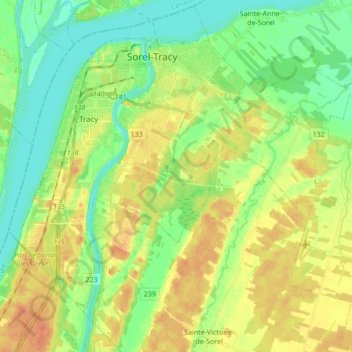
Name: Sorel-Tracy topographic map, elevation, terrain.

Location: Sorel-Tracy, Pierre-De Saurel, Montérégie, Quebec, Canada (45.95517 -73.18115 46.05155 -73.01084)

Average elevation: 15 m

Minimum elevation: 0 m

Maximum elevation: 33 m

Pierre-De Saurel trails, hiking, mountain biking, running and outdoor activities

Gear up for your next adventure:

🧤Insulated Winter Gloves - Heavy-duty protection for sub-zero Canadian adventures
🕯️Camping Lantern - Illuminates your entire campsite with high-efficiency LEDs
🧥Insulated Jacket - Keep warm in cold outdoor conditions
🧴Bear Spray Holster - Quick-access carry for essential Canadian wilderness safety
🌬️Windproof Camp Stove - Efficient cooking even on exposed mountain peaks

As an Amazon Associate, this site earns from qualifying purchases at no extra cost to you.