Geolocate

Brambleton topographic map

Click on the map to display elevation.

About this map

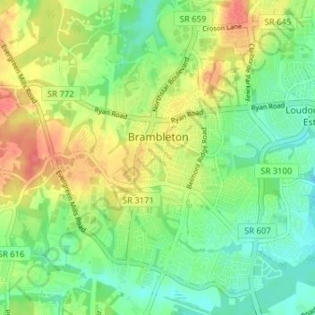
Name: Brambleton topographic map, elevation, terrain.

Location: Brambleton, Loudoun County, Virginia, United States (38.95537 -77.56024 39.00579 -77.50036)

Average elevation: 100 m

Minimum elevation: 78 m

Maximum elevation: 136 m

Gear up for your next adventure:

🕶️Polarized Sunglasses - Reduces glare from snow and water at high elevations
🧦Merino Wool Socks - Moisture-wicking comfort for long-distance hiking
🛌Down Sleeping Bag - Superior warmth-to-weight ratio for cold nights
🧦Hiking Socks - Moisture-wicking and comfortable socks for long hikes
🧭GPS Handheld Device - Reliable GPS navigation for outdoor adventures

As an Amazon Associate, this site earns from qualifying purchases at no extra cost to you.