Geolocate

Lofsdalen topographic map

Click on the map to display elevation.

About this map

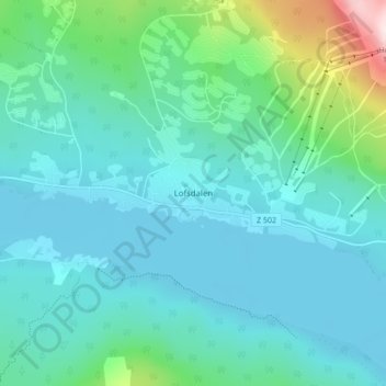
Name: Lofsdalen topographic map, elevation, terrain.

Location: Lofsdalen, Härjedalens kommun, Jämtland County, 840 85, Sweden (62.09374 13.25403 62.13374 13.29403)

Average elevation: 672 m

Minimum elevation: 591 m

Maximum elevation: 1,086 m

Other topographic maps

Click on a map to view its topography, its elevation and its terrain.

Lill-Rånddalen

Sweden > Jämtland County

Average elevation: 605 m

Ragunda kommun

Sweden > Jämtland County

Average elevation: 315 m

Lillhärdal

Sweden > Jämtland County

Average elevation: 459 m

Gear up for your next adventure:

🧦Outdoor Socks - Durable socks designed for hiking and outdoor sports
🧥Thermal Layer - Insulating layer for cold outdoor conditions
Backpacking Tent - Lightweight tent for long-distance hiking trips
🔋Lithium AA Batteries - Long-lasting power that performs in extreme cold
🗺️Topographic Maps - Detailed maps to explore trails, mountains, and wilderness areas

As an Amazon Associate, this site earns from qualifying purchases at no extra cost to you.