
Kecamatan Rangsang Barat topographic map
Interactive map
Click on the map to display elevation.
About this map
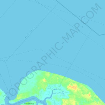
Name: Kecamatan Rangsang Barat topographic map, elevation, terrain.
Average elevation: 1 m
Minimum elevation: -1 m
Maximum elevation: 19 m
Other topographic maps
Click on a map to view its topography, its elevation and its terrain.
Kecamatan Rangsang
Indonesia > Riau > Meranti Islands Regency
Kecamatan Rangsang, Meranti Islands Regency, Riau, Indonesia
Average elevation: 3 m