Geolocate

Eckert topographic map

Click on the map to display elevation.

About this map

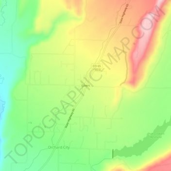
Name: Eckert topographic map, elevation, terrain.

Location: Eckert, Delta County, Colorado, 81418, United States (38.82276 -107.98284 38.86276 -107.94284)

Average elevation: 1,691 m

Minimum elevation: 1,585 m

Maximum elevation: 1,817 m

Gear up for your next adventure:

🔋Emergency Crank Radio - Weather alerts and power without needing batteries
🧥Thermal Fleece Jacket - Versatile insulation for changing mountain temperatures
🛁Quick-Dry Microfiber Towel - Space-saving towel that dries rapidly on the move
🧢Hiking Hat - Sun-protective and breathable hats for long treks
🧊Portable Cooler - Keep food and drinks cold during outdoor adventures

As an Amazon Associate, this site earns from qualifying purchases at no extra cost to you.