
Thank you for supporting this site ❤️
Make a donation
Make a donation
Gear up for your next adventure:
As an Amazon Associate, this site earns from qualifying purchases at no extra cost to you.
Ranakpur topographic map
Click on the map to display elevation.
Thank you for supporting this site ❤️
Make a donation
Make a donation
Gear up for your next adventure:
As an Amazon Associate, this site earns from qualifying purchases at no extra cost to you.
About this map
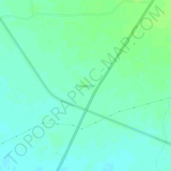
Name: Ranakpur topographic map, elevation, terrain.
Location: Ranakpur, Kankrej Taluka, Banaskantha, Gujarat, 385555, India (23.92372 71.77718 23.96372 71.81718)
Average elevation: 53 m
Minimum elevation: 48 m
Maximum elevation: 60 m
Thank you for supporting this site ❤️
Make a donation
Make a donation
Gear up for your next adventure:
As an Amazon Associate, this site earns from qualifying purchases at no extra cost to you.