
Iwaki topographic map
Interactive map
Click on the map to display elevation.
About this map
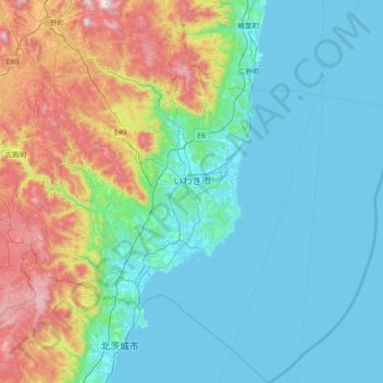
Name: Iwaki topographic map, elevation, terrain.
Location: Iwaki, Fukushima Prefecture, Japan (36.74434 140.56587 37.31954 141.25968)
Average elevation: 204 m
Minimum elevation: 0 m
Maximum elevation: 948 m