Geolocate

Flachau topographic map

Click on the map to display elevation.

About this map

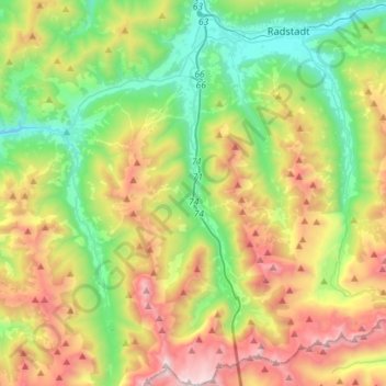
Name: Flachau topographic map, elevation, terrain.

Location: Flachau, Flachauwinkl, Salzburg, 5542, Austria (47.20628 13.34109 47.40014 13.48510)

Average elevation: 1,449 m

Minimum elevation: 755 m

Maximum elevation: 2,621 m

Gear up for your next adventure:

🧥Fleece Jacket - Warm and lightweight jacket for layering
🧦Outdoor Socks - Durable socks designed for hiking and outdoor sports
🥾Waterproof Trail Shoes - Shoes designed to handle wet terrain
🚲MTB Frame Bag - Carry tools and maps directly on your bicycle frame
🗺️Topographic Maps - Detailed maps to explore trails, mountains, and wilderness areas

As an Amazon Associate, this site earns from qualifying purchases at no extra cost to you.