Geolocate

Pleasant Ridge topographic map

Click on the map to display elevation.

About this map

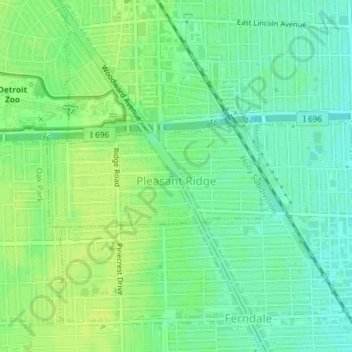
Name: Pleasant Ridge topographic map, elevation, terrain.

Location: Pleasant Ridge, Oakland County, Michigan, United States (42.46758 -83.15563 42.47542 -83.13325)

Average elevation: 201 m

Minimum elevation: 193 m

Maximum elevation: 207 m

Gear up for your next adventure:

🕯️Camping Lantern - Illuminates your entire campsite with high-efficiency LEDs
🥾Lightweight Hiking Shoes - Comfortable shoes for day hikes
🔭Outdoor Binoculars - Lightweight binoculars for birdwatching and hiking
🥾Hiking Shorts - Breathable shorts suitable for summer hikes
🧣Evaporative Cooling Towel - Beat the heat during intense summer climbs

As an Amazon Associate, this site earns from qualifying purchases at no extra cost to you.