Geolocate

Löberöd topographic map

Click on the map to display elevation.

About this map

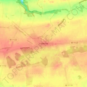
Name: Löberöd topographic map, elevation, terrain.

Location: Löberöd, Eslövs kommun, Skåne County, 241 61, Sweden (55.75568 13.49491 55.79568 13.53491)

Average elevation: 123 m

Minimum elevation: 87 m

Maximum elevation: 138 m

Other topographic maps

Click on a map to view its topography, its elevation and its terrain.

Immeln

Sweden > Skåne County

Average elevation: 100 m

Kristianstads kommun

Sweden > Skåne County

Average elevation: 57 m

Perstorps kommun

Sweden > Skåne County

Average elevation: 100 m

Malmo

Sweden > Skåne County

Average elevation: 10 m

Gear up for your next adventure:

Camping Groundsheet - Protect your tent from moisture and dirt
🧴Sunscreen SPF - Broad-spectrum sunscreen for outdoor activities
🔭Outdoor Binoculars - Lightweight binoculars for birdwatching and hiking
💧Collapsible Water Bottle - Space-saving water bottle for outdoor activities
🛶Kayak Dry Bag - Waterproof storage for kayaking adventures

As an Amazon Associate, this site earns from qualifying purchases at no extra cost to you.