
Make a donation
Gear up for your next adventure:
As an Amazon Associate, this site earns from qualifying purchases at no extra cost to you.
Third Lake topographic map
Click on the map to display elevation.
Make a donation
Gear up for your next adventure:
As an Amazon Associate, this site earns from qualifying purchases at no extra cost to you.
About this map
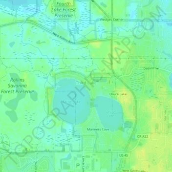
Name: Third Lake topographic map, elevation, terrain.
Location: Third Lake, Lake County, Illinois, United States (42.35667 -88.03699 42.38986 -87.99788)
Average elevation: 236 m
Minimum elevation: 229 m
Maximum elevation: 245 m
Make a donation
Gear up for your next adventure:
As an Amazon Associate, this site earns from qualifying purchases at no extra cost to you.
Other topographic maps
Click on a map to view its topography, its elevation and its terrain.
Waukegan
United States > Illinois > Lake County > Waukegan
Waukegan is located at 42°22′13″N 87°52′16″W / 42.37028°N 87.87111°W / 42.37028; -87.87111 (42.3703140, −87.8711404). Waukegan is on the shore of Lake Michigan, about 11 miles (18 km) south of the border with Wisconsin and 41 miles (66 km) north of downtown Chicago, at an elevation of…
Average elevation: 200 m