Geolocate

Mayo topographic map

Click on the map to display elevation.

About this map

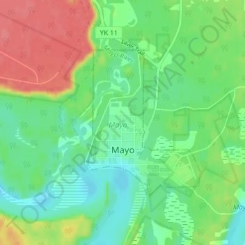
Name: Mayo topographic map, elevation, terrain.

Location: Mayo, Yukon, Canada (63.58759 -135.90479 63.60370 -135.87695)

Average elevation: 499 m

Minimum elevation: 475 m

Maximum elevation: 537 m

Mayo trails, hiking, mountain biking, running and outdoor activities

Gear up for your next adventure:

🥾Hiking Boots - Sturdy boots providing ankle support and traction on rugged trails
🥾Lightweight Hiking Boots - Boots for comfort and mobility on long hikes
🥾Mountain Trail Shoes - High-traction shoes for mountain trails
Camping Groundsheet - Protect your tent from moisture and dirt
Camping Essentials - All-in-one gear for a comfortable camping trip

As an Amazon Associate, this site earns from qualifying purchases at no extra cost to you.