Geolocate

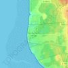
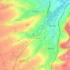
Calais topographic map

Click on the map to display elevation.

About this map
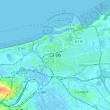
Name: Calais topographic map, elevation, terrain.

Location: Calais, Pas-de-Calais, Hauts-de-France, Metropolitan France, 62100, France (50.92189 1.80578 50.98266 1.93206)

Average elevation: 3 m

Minimum elevation: -6 m

Maximum elevation: 40 m

Other topographic maps

Click on a map to view its topography, its elevation and its terrain.

Panehem

France > Hauts-de-France > Pas-de-Calais > Samer

Average elevation: 70 m

Le Petit Vimy

France > Hauts-de-France > Pas-de-Calais > Vimy

Average elevation: 93 m

Noyelles

France > Hauts-de-France > Pas-de-Calais > Bours

Average elevation: 125 m

Gear up for your next adventure:

🏕️Camping Hammock - Integrated protection for sleeping between trees
🧭Orienteering Kit - Tools for map reading and navigation in the wild
🧊Portable Cooler - Keep food and drinks cold during outdoor adventures
🥾Waterproof Hiking Shoes - Durable shoes for wet and rugged trails
🧢Hiking Sun Hat - Wide-brimmed protection for exposed mountain ridges

As an Amazon Associate, this site earns from qualifying purchases at no extra cost to you.