Geolocate

Clovis topographic map

Click on the map to display elevation.

Clovis

Clovis is a city in Fresno County, California, United States. The 2020 population was 120,124. Clovis is located 6.5 miles (10.5 km) northeast of downtown Fresno, at an elevation of 361 feet (110 m).

About this map
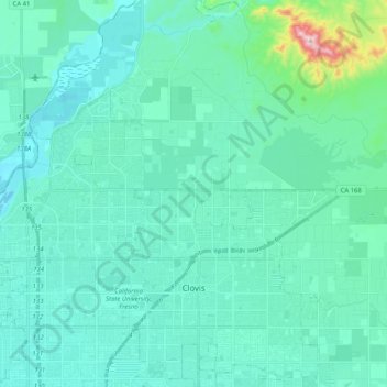
Name: Clovis topographic map, elevation, terrain.

Location: Clovis, Fresno County, California, United States (36.78297 -119.73256 36.94660 -119.62173)

Average elevation: 127 m

Minimum elevation: 75 m

Maximum elevation: 492 m

Gear up for your next adventure:

🥾Hiking Leggings - Comfortable leggings for outdoor activities
⛺Bushcraft Tarp - Versatile emergency shelter or gear protection
🥾Trekking Poles - Adjustable trekking poles to reduce knee stress and improve stability
🩹Moleskin Blister Pads - Direct protection for painful foot pressure points
🪑Ultralight Camping Stool - Compact seating for rest stops during long hikes

As an Amazon Associate, this site earns from qualifying purchases at no extra cost to you.