Geolocate

Parry Sound topographic map

Click on the map to display elevation.

About this map
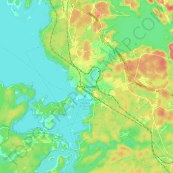
Name: Parry Sound topographic map, elevation, terrain.

Location: Parry Sound, Parry Sound District, Central Ontario, Ontario, P2A 1B2, Canada (45.30361 -80.07374 45.38361 -79.99374)

Average elevation: 202 m

Minimum elevation: 170 m

Maximum elevation: 259 m

Parry Sound District trails, hiking, mountain biking, running and outdoor activities

Gear up for your next adventure:

🧥Waterproof Jacket - Lightweight rain jackets for hiking and outdoor activities
🏕️Camping Hammock - Integrated protection for sleeping between trees
🪑Ultralight Camping Stool - Compact seating for rest stops during long hikes
🩹Moleskin Blister Pads - Direct protection for painful foot pressure points
📷Outdoor Action Camera - Capture high-elevation views and rugged adventures

As an Amazon Associate, this site earns from qualifying purchases at no extra cost to you.