Geolocate

Sulphur topographic map

Click on the map to display elevation.

About this map

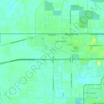
Name: Sulphur topographic map, elevation, terrain.

Location: Sulphur, Calcasieu Parish, Louisiana, 70663, United States (30.19091 -93.40551 30.25305 -93.30435)

Average elevation: 6 m

Minimum elevation: -2 m

Maximum elevation: 19 m

Gear up for your next adventure:

🚲Heavy Duty Bike Lock - Secure your bike at the trailhead or during stops
🧰Multitool Knife - Compact and versatile tool for outdoor use
👟Sport Hiking Sandals - Breathable footwear for water crossings and camp rest
🚲Bike Repair Kit - Essential tools for on-trail mechanical issues
🩹Moleskin Blister Pads - Direct protection for painful foot pressure points

As an Amazon Associate, this site earns from qualifying purchases at no extra cost to you.