
Rustaq topographic map
Interactive map
Click on the map to display elevation.
About this map
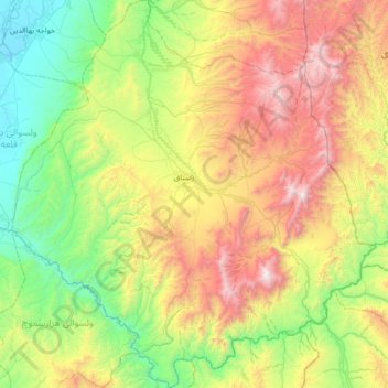
Name: Rustaq topographic map, elevation, terrain.
Location: Rustaq, Takhar Province, Afghanistan (36.84840 69.49956 37.38632 70.13384)
Average elevation: 1,244 m
Minimum elevation: 423 m
Maximum elevation: 2,802 m