Geolocate

Amer topographic map

Click on the map to display elevation.

About this map
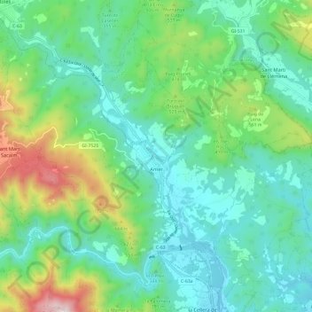
Name: Amer topographic map, elevation, terrain.

Location: Amer, la Selva, Girona, Catalonia, 17170, Spain (41.97568 2.54428 42.05005 2.66267)

Average elevation: 381 m

Minimum elevation: 145 m

Maximum elevation: 1,076 m

Gear up for your next adventure:

🥾Approach Boots - Comfortable boots for hiking and climbing approaches
🧴Insect Repellent - Protect yourself from bugs during outdoor adventures
🔋Solar Power Bank - Keep your GPS and devices charged during long outdoor trips
🔨Vehicle Emergency Tool - Safety tool for remote road trips to trailheads
🧶550 Survival Paracord - Versatile utility cord for emergency repairs and rigging

As an Amazon Associate, this site earns from qualifying purchases at no extra cost to you.