
Tyndrum topographic map
Click on the map to display elevation.
About this map
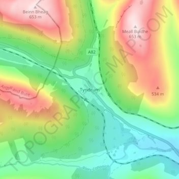
Name: Tyndrum topographic map, elevation, terrain.
Location: Tyndrum, Stirling, Scotland, FK20, United Kingdom (56.41591 -4.73169 56.45591 -4.69169)
Average elevation: 358 m
Minimum elevation: 170 m
Maximum elevation: 650 m