

Fredericktown topographic map
Click on the map to display elevation.
Fredericktown
Also found west of Fredericktown but still within Madison County is Black Mountain. Highway E runs along the base of Black Mountain, beside the St. Francis River. While Black Mountain is only the 42nd highest (above sea level) in Missouri, Black Mountain has the largest difference in elevation from the base to the summit. The St. Francis River, at the base of Black Mountain, is approximately 540 feet above sea level. The summit of Black Mountain is 1,502 feet above sea level, which is a difference of approximately 962 feet. In contrast, Taum Sauk Mountain, the highest in Missouri, only rises about 700 feet from its base, because it rises from an already elevated plain. Taum Sauk is the highest mountain in Missouri; Black Mountain is the tallest.
About this map
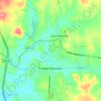
Name: Fredericktown topographic map, elevation, terrain.
Average elevation: 234 m
Minimum elevation: 207 m
Maximum elevation: 288 m