
Killeen topographic map
Interactive map
Click on the map to display elevation.
About this map
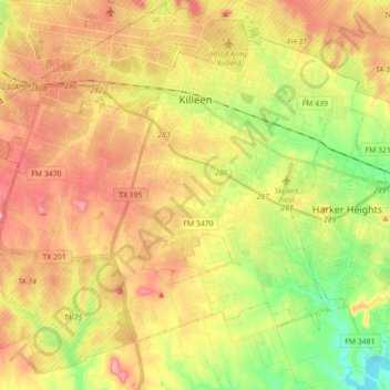
Name: Killeen topographic map, elevation, terrain.
Location: Killeen, Bell County, Texas, United States (31.02346 -97.82448 31.14103 -97.65132)
Average elevation: 266 m
Minimum elevation: 185 m
Maximum elevation: 340 m
Other topographic maps
Click on a map to view its topography, its elevation and its terrain.
Temple
United States > Texas > Bell County
Temple, Bell County, Texas, United States
Average elevation: 186 m
Belton
United States > Texas > Bell County
Belton, Bell County, Texas, United States
Average elevation: 179 m