Geolocate

Caruru topographic map

Click on the map to display elevation.

About this map

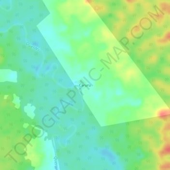
Name: Caruru topographic map, elevation, terrain.

Location: Caruru, Mitú, Vaupés, RAP Amazonía, Colombia (1.51707 -70.22546 1.55707 -70.18546)

Average elevation: 187 m

Minimum elevation: 168 m

Maximum elevation: 221 m

Gear up for your next adventure:

🧥Insulated Jacket - Keep warm in cold outdoor conditions
Camping Coffee Maker - Brew fresh coffee anywhere on the topographic map
🚲MTB Frame Bag - Carry tools and maps directly on your bicycle frame
Backpacking Tent - Lightweight tent for long-distance hiking trips
🥾Trail Running Boots - Durable shoes designed for trail running

As an Amazon Associate, this site earns from qualifying purchases at no extra cost to you.