Geolocate

Kalanaur topographic map

Click on the map to display elevation.

About this map

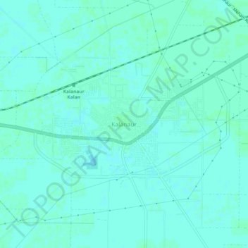
Name: Kalanaur topographic map, elevation, terrain.

Location: Kalanaur, Rohtak, Haryana, 124113, India (28.80741 76.37575 28.84741 76.41575)

Average elevation: 220 m

Minimum elevation: 217 m

Maximum elevation: 221 m

Gear up for your next adventure:

🦌Outdoor Trail Camera - Monitor wildlife activity near your favorite spots
❄️Traction Ice Cleats - Slip-on spikes for icy trails and winter hiking
🎒Fully Waterproof Backpack - Total protection for photography gear and electronics
🔦LED Headlamp - Hands-free lighting for early morning starts or late finishes
🧼Biodegradable Camp Soap - Environmentally friendly cleaning for gear and body

As an Amazon Associate, this site earns from qualifying purchases at no extra cost to you.