Geolocate

Holladay topographic map

Click on the map to display elevation.

About this map

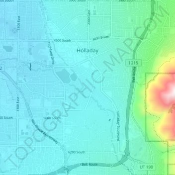
Name: Holladay topographic map, elevation, terrain.

Location: Holladay, Salt Lake County, Utah, 84124, United States (40.63117 -111.85446 40.68706 -111.78643)

Average elevation: 1,427 m

Minimum elevation: 1,311 m

Maximum elevation: 2,214 m

Gear up for your next adventure:

🧦Thermal Socks - Warm socks for winter hiking or camping
🧥Thermal Fleece Jacket - Versatile insulation for changing mountain temperatures
🧴Waterproofing Spray - Restore the DWR coating on jackets and tents
🔋Solar Power Bank - Keep your GPS and devices charged during long outdoor trips
🧼Biodegradable Camp Soap - Environmentally friendly cleaning for gear and body

As an Amazon Associate, this site earns from qualifying purchases at no extra cost to you.