Geolocate

Smith County topographic map

Click on the map to display elevation.

About this map

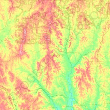
Name: Smith County topographic map, elevation, terrain.

Location: Smith County, Mississippi, United States (31.78065 -89.73110 32.22386 -89.31662)

Average elevation: 119 m

Minimum elevation: 70 m

Maximum elevation: 182 m

Gear up for your next adventure:

🕶️Polarized Sunglasses - Reduces glare from snow and water at high elevations
🥽Outdoor Goggles - Protective eyewear for outdoor activities
🧥Fleece Jacket - Warm and lightweight jacket for layering
🛶Kayak Accessories - Essential gear for safe and fun kayaking adventures
🍽️Titanium Camping Spork - Ultralight and indestructible eating utensil

As an Amazon Associate, this site earns from qualifying purchases at no extra cost to you.