Geolocate

Nantucket Island topographic map

Click on the map to display elevation.

About this map
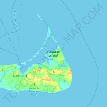
Name: Nantucket Island topographic map, elevation, terrain.

Location: Nantucket Island, Nantucket, Massachusetts, United States (41.23921 -70.23620 41.39249 -69.96043)

Average elevation: 2 m

Minimum elevation: -3 m

Maximum elevation: 28 m

Gear up for your next adventure:

🔋Lithium AA Batteries - Long-lasting power that performs in extreme cold
🏃Hydration Running Vest - Carry water and maps close to your body for speed
🔭Outdoor Binoculars - Lightweight binoculars for birdwatching and hiking
🛶Kayak Accessories - Essential gear for safe and fun kayaking adventures
🍽️Titanium Camping Spork - Ultralight and indestructible eating utensil

As an Amazon Associate, this site earns from qualifying purchases at no extra cost to you.