
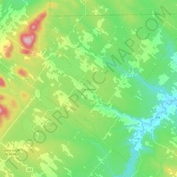
Lac-Drolet topographic map
Interactive map
Click on the map to display elevation.
About this map
Name: Lac-Drolet topographic map, elevation, terrain.
Location: Lac-Drolet, Le Granit, Estrie, Quebec, Canada (45.65819 -70.93443 45.78211 -70.72485)
Average elevation: 466 m
Minimum elevation: 318 m
Maximum elevation: 810 m