
Thank you for supporting this site ❤️
Make a donation
Make a donation
Gear up for your next adventure:
As an Amazon Associate, this site earns from qualifying purchases at no extra cost to you.
Hawarden topographic map
Click on the map to display elevation.
Thank you for supporting this site ❤️
Make a donation
Make a donation
Gear up for your next adventure:
As an Amazon Associate, this site earns from qualifying purchases at no extra cost to you.
About this map
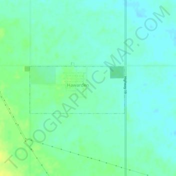
Name: Hawarden topographic map, elevation, terrain.
Location: Hawarden, Division No. 11, Saskatchewan, Canada (51.40917 -106.61346 51.41696 -106.59020)
Average elevation: 609 m
Minimum elevation: 603 m
Maximum elevation: 620 m
Division No. 11 trails, hiking, mountain biking, running and outdoor activities
Thank you for supporting this site ❤️
Make a donation
Make a donation
Gear up for your next adventure:
As an Amazon Associate, this site earns from qualifying purchases at no extra cost to you.