Geolocate

Bayview topographic map

Click on the map to display elevation.

About this map

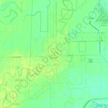
Name: Bayview topographic map, elevation, terrain.

Location: Bayview, Cameron County, Texas, United States (26.08185 -97.42447 26.18252 -97.34456)

Average elevation: 7 m

Minimum elevation: 0 m

Maximum elevation: 13 m

Other topographic maps

Click on a map to view its topography, its elevation and its terrain.

Gear up for your next adventure:

🥾Waterproof Trail Shoes - Shoes designed to handle wet terrain
Camping Coffee Maker - Brew fresh coffee anywhere on the topographic map
🕯️Camping Lantern - Illuminates your entire campsite with high-efficiency LEDs
🧦Crew Hiking Socks - Comfortable socks for long-distance hikes
🧢Beanie Hat - Keep your head warm in cold weather

As an Amazon Associate, this site earns from qualifying purchases at no extra cost to you.