

Zernez topographic map
Click on the map to display elevation.
Zernez
Lai da Ova Spin is a compensation reservoir on the river Spöl. It is located in the upper areas of the Lower Engadine valley (Romansh: Engiadina Bassa). It is located at an elevation of 1,473 m (4,833 ft) and is connected to the railway network of the Rhätische Bahn. In Zernez, the stream Spöl empties into the Inn (Romansh: En).
About this map
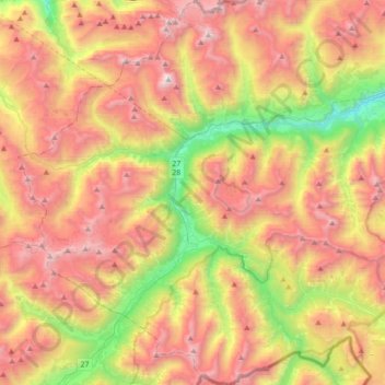
Name: Zernez topographic map, elevation, terrain.
Average elevation: 2,297 m
Minimum elevation: 1,199 m
Maximum elevation: 3,366 m
Other topographic maps
Click on a map to view its topography, its elevation and its terrain.
Tschierv
Switzerland > Grisons > Region Engiadina Bassa/Val Müstair > Val Müstair
Average elevation: 2,023 m