
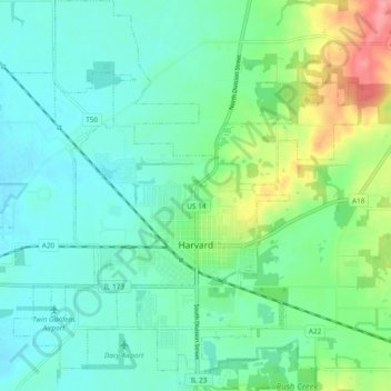
Harvard topographic map
Click on the map to display elevation.
About this map
Name: Harvard topographic map, elevation, terrain.
Location: Harvard, McHenry County, Illinois, 60033, United States (42.39612 -88.65840 42.46564 -88.57242)
Average elevation: 289 m
Minimum elevation: 267 m
Maximum elevation: 351 m