
Saint-Marc-des-Carrières topographic map
Interactive map
Click on the map to display elevation.
About this map
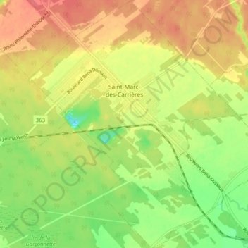
Name: Saint-Marc-des-Carrières topographic map, elevation, terrain.
Average elevation: 46 m
Minimum elevation: 13 m
Maximum elevation: 73 m
Portneuf (MRC) trails, hiking, mountain biking, running and outdoor activities
Other topographic maps
Click on a map to view its topography, its elevation and its terrain.
Lac de la Tête de Jument
Canada > Quebec > Portneuf (MRC) > Saint-Léonard-de-Portneuf
Average elevation: 371 m