Geolocate

Hastings topographic map

Click on the map to display elevation.

About this map

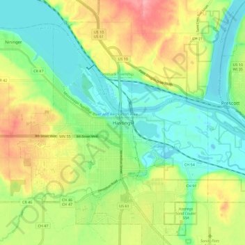
Name: Hastings topographic map, elevation, terrain.

Location: Hastings, Dakota County, Minnesota, 55033, United States (44.70269 -92.89187 44.78269 -92.81187)

Average elevation: 243 m

Minimum elevation: 202 m

Maximum elevation: 308 m

Gear up for your next adventure:

🌬️Windproof Camp Stove - Efficient cooking even on exposed mountain peaks
🧶550 Survival Paracord - Versatile utility cord for emergency repairs and rigging
🧣Evaporative Cooling Towel - Beat the heat during intense summer climbs
🔥Camping Stove - Portable stoves to cook outdoors with ease
💡LED Headlamp - Hands-free illumination for night hiking and camping

As an Amazon Associate, this site earns from qualifying purchases at no extra cost to you.