Geolocate

Botanical Gardens topographic map

Click on the map to display elevation.

About this map
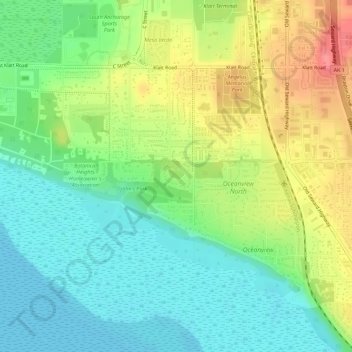
Name: Botanical Gardens topographic map, elevation, terrain.

Location: Botanical Gardens, Anchorage, Alaska, United States (61.10641 -149.88410 61.10856 -149.87887)

Average elevation: 28 m

Minimum elevation: 0 m

Maximum elevation: 71 m

Gear up for your next adventure:

🕶️Polarized Sunglasses - Protect your eyes with durable polarized lenses
💧Collapsible Water Bottle - Space-saving water bottle for outdoor activities
🧤Thermal Hiking Gloves - Grip-enhanced gloves for cold-weather altitude trekking
🧶550 Survival Paracord - Versatile utility cord for emergency repairs and rigging
🥾Light Trekking Boots - Supportive boots for multi-day treks

As an Amazon Associate, this site earns from qualifying purchases at no extra cost to you.