Geolocate

Cheval topographic map

Click on the map to display elevation.

About this map

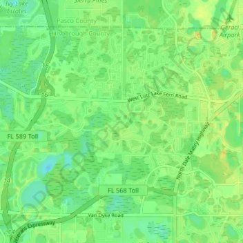
Name: Cheval topographic map, elevation, terrain.

Location: Cheval, Hillsborough County, Florida, 33558, United States (28.12767 -82.54908 28.17272 -82.48341)

Average elevation: 20 m

Minimum elevation: 9 m

Maximum elevation: 31 m

Gear up for your next adventure:

🧦Hiking Liner Socks - Thin base layer to prevent friction and blisters
🛏️Camping Sleeping Mat - Comfortable mats for sleeping outdoors
🧢Hiking Sun Hat - Wide-brimmed protection for exposed mountain ridges
🛌Down Sleeping Bag - Superior warmth-to-weight ratio for cold nights
🥾Hiking Shorts - Breathable shorts suitable for summer hikes

As an Amazon Associate, this site earns from qualifying purchases at no extra cost to you.