Geolocate

Gaddesby topographic map

Click on the map to display elevation.

About this map

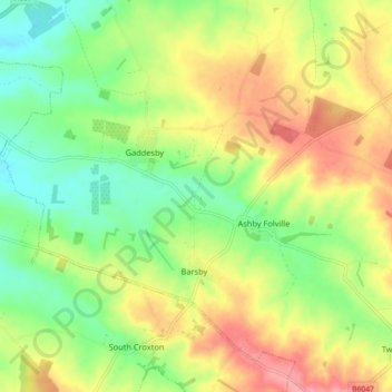
Name: Gaddesby topographic map, elevation, terrain.

Location: Gaddesby, Melton, Leicestershire, England, United Kingdom (52.68265 -1.01560 52.72877 -0.92570)

Average elevation: 105 m

Minimum elevation: 63 m

Maximum elevation: 155 m

Gear up for your next adventure:

🛰️Satellite Messenger - Emergency communication for areas with no cell service
🥾Waterproof Hiking Shoes - Durable shoes for wet and rugged trails
👟Leg Gaiters - Keep debris, mud, and snow out of your boots
🕶️Polarized Sunglasses - Protect your eyes with durable polarized lenses
Lightweight Camping Tent - Portable shelter optimized for Canadian backcountry camping

As an Amazon Associate, this site earns from qualifying purchases at no extra cost to you.