Geolocate

Massillon topographic map

Click on the map to display elevation.

About this map

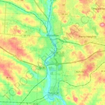
Name: Massillon topographic map, elevation, terrain.

Location: Massillon, Stark County, Ohio, 44647, United States (40.72482 -81.64814 40.82538 -81.47547)

Average elevation: 321 m

Minimum elevation: 276 m

Maximum elevation: 378 m

Gear up for your next adventure:

🥾Mountaineering Boots - Supportive boots for climbing and high-altitude hiking
👖Convertible Hiking Pants - Zip-off legs to adapt to changing weather conditions
Family Camping Tent - Spacious tent suitable for family camping trips
💡LED Camping Lantern - Illuminate your campsite with long-lasting lanterns
🧢Outdoor Visor - Breathable visor for sunny hikes

As an Amazon Associate, this site earns from qualifying purchases at no extra cost to you.