
Lat Krabang District topographic map
Interactive map
Click on the map to display elevation.
About this map
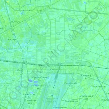
Name: Lat Krabang District topographic map, elevation, terrain.
Location: Lat Krabang District, Bangkok, 10520, Thailand (13.68944 100.70660 13.80041 100.87894)
Average elevation: 3 m
Minimum elevation: -11 m
Maximum elevation: 8 m
Other topographic maps
Click on a map to view its topography, its elevation and its terrain.
Phra Nakhon District
Thailand > Bangkok > Phra Nakhon District
Phra Nakhon District, Bangkok, 10200, Thailand
Average elevation: 7 m
Rong Mueang Subdistrict
Thailand > Bangkok > Rong Mueang Subdistrict
Rong Mueang Subdistrict, Pathum Wan District, Bangkok, 10330, Thailand
Average elevation: 9 m