Geolocate

Livigno topographic map

Click on the map to display elevation.

Livigno

Only three roads lead to the town. Two link to Switzerland, one through the Forcola di Livigno, elevation 2,315 m (7,595 ft) and open in summer only, and the second through the Munt la Schera Tunnel. The third road connects to other parts of Italy through the Foscagno Pass, elevation 2,291 m (7,516 ft).

Wikipedia (CC-BY-SA 3.0)

About this map

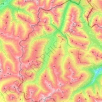
Name: Livigno topographic map, elevation, terrain.

Location: Livigno, Comunità montana Alta Valtellina, Sondrio, Lombardy, 23041, Italy (46.42106 10.03915 46.62594 10.21910)

Average elevation: 2,388 m

Minimum elevation: 1,412 m

Maximum elevation: 3,255 m

Gear up for your next adventure:

Lightweight Backpacking Tent - Compact tent for efficient hiking trips
🥾Waterproof Hiking Shoes - Durable shoes for wet and rugged trails
🧦Thermal Socks - Warm socks for winter hiking or camping
🥾Lightweight Hiking Shoes - Comfortable shoes for day hikes
🧣Evaporative Cooling Towel - Beat the heat during intense summer climbs

As an Amazon Associate, this site earns from qualifying purchases at no extra cost to you.