Geolocate

Schwebheim topographic map

Click on the map to display elevation.

About this map

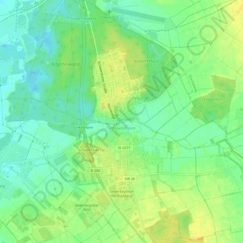
Name: Schwebheim topographic map, elevation, terrain.

Location: Schwebheim, Landkreis Schweinfurt, Bavaria, 97525, Germany (49.97623 10.23688 50.01288 10.28795)

Average elevation: 214 m

Minimum elevation: 201 m

Maximum elevation: 225 m

Other topographic maps

Click on a map to view its topography, its elevation and its terrain.

Schraudenbach

Germany > Bavaria > Landkreis Schweinfurt

Average elevation: 286 m

Gear up for your next adventure:

🧥Waterproof Hiking Jacket - Protect yourself from rain and wind while hiking
🚲MTB Frame Bag - Carry tools and maps directly on your bicycle frame
🥾Mountain Trail Shoes - High-traction shoes for mountain trails
🧥Softshell Hiking Jacket - The perfect balance of wind protection and breathability
🥫Freeze-Dried Meals - Lightweight, high-calorie nutrition for multi-day treks

As an Amazon Associate, this site earns from qualifying purchases at no extra cost to you.