Geolocate

Webling topographic map

Click on the map to display elevation.

About this map
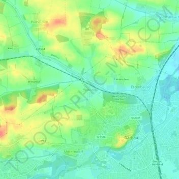
Name: Webling topographic map, elevation, terrain.

Location: Webling, Dachau, Landkreis Dachau, Bavaria, 85221, Germany (48.25001 11.40145 48.29001 11.44145)

Average elevation: 495 m

Minimum elevation: 472 m

Maximum elevation: 536 m

Gear up for your next adventure:

🕶️Polarized Sunglasses - Protect your eyes with durable polarized lenses
🧥Waterproof Jacket - Lightweight rain jackets for hiking and outdoor activities
🛶Kayak Dry Bag - Waterproof storage for kayaking adventures
🔪Outdoor Multitool - Versatile tool for repairs and food prep in the wild
🥾Hiking Boots - Sturdy boots providing ankle support and traction on rugged trails

As an Amazon Associate, this site earns from qualifying purchases at no extra cost to you.