Geolocate

Edwards Plateau topographic map

Click on the map to display elevation.

About this map

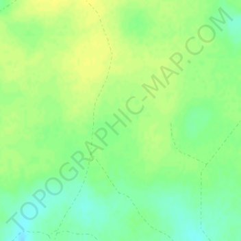
Name: Edwards Plateau topographic map, elevation, terrain.

Location: Edwards Plateau, Crockett County, Texas, United States (31.00040 -101.00071 31.00050 -101.00061)

Average elevation: 785 m

Minimum elevation: 774 m

Maximum elevation: 792 m

Gear up for your next adventure:

🔦LED Flashlight - Powerful and long-lasting flashlight for camping and emergencies
Backpacking Tent - Lightweight tent for long-distance hiking trips
🥾Waterproof Hiking Boots - Boots keeping your feet dry in wet conditions
🧳Compression Sacks - Maximize space in your backpack by shrinking gear
🧢Beanie Hat - Keep your head warm in cold weather

As an Amazon Associate, this site earns from qualifying purchases at no extra cost to you.